
Climate intelligence in the Field
Our active clients & projects:
GreenAnt's solutions are actively deployed around the world, supporting projects that address real flood risk, community resilience, and agricultural climate vulnerability challenges across the world. The following projects represent a few of our current active engagements. Each reflects GreenAnt's approach: data-driven, locally precise, and designed to enable proactive, rather than reactive, action.
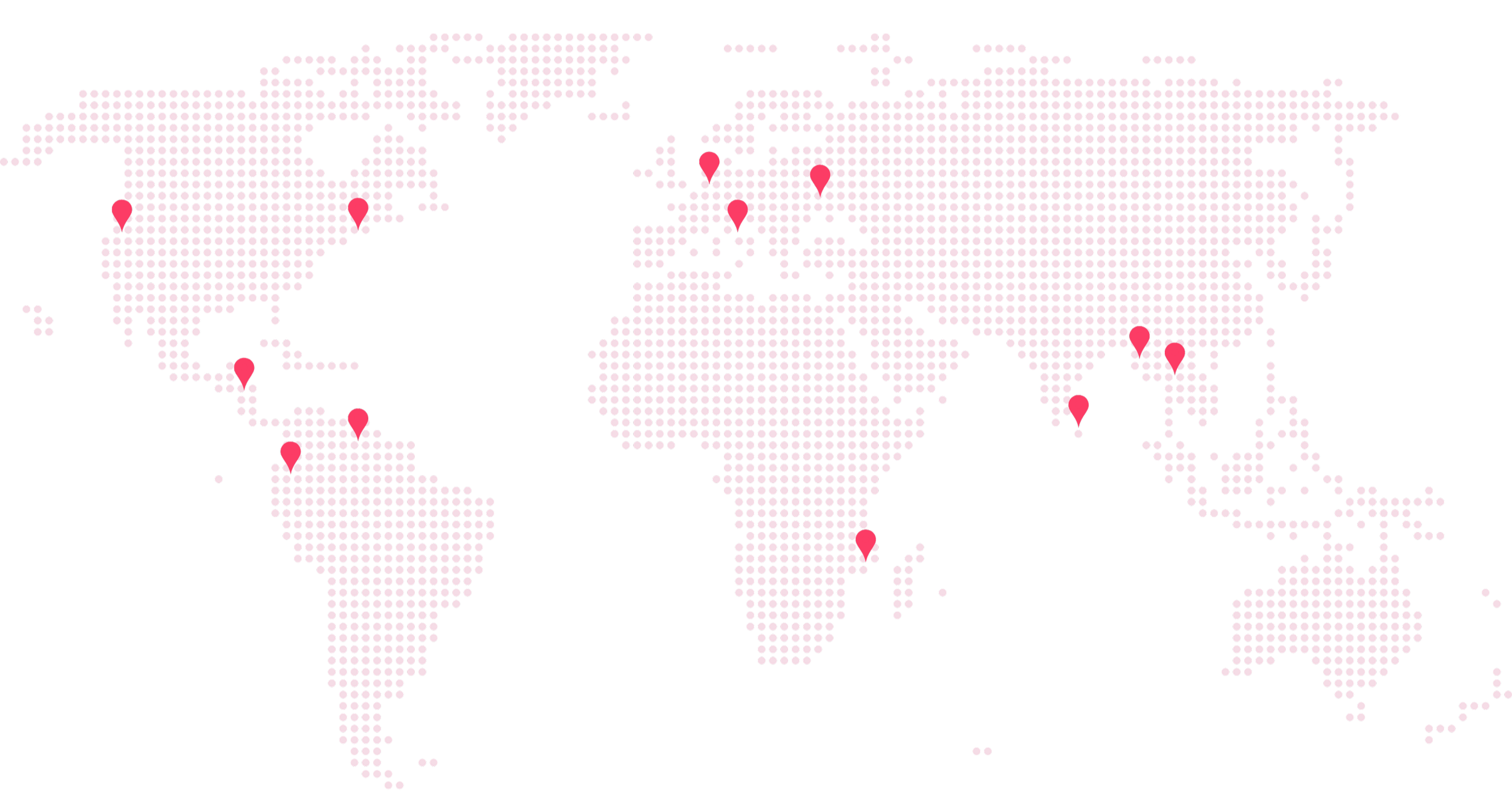
Myanmar Anticipatory Action Pilot
Region: Western Myanmar
The Challenge
Flood-prone coastal communities in western Myanmar face recurring flood events driven by complex terrain, dense river networks, and intense monsoon patterns. Traditional, regional-scale forecasting tools provide insufficient geographic precision to inform protective action at the community level. Political instability creates further obstacles to safe and effective flood protection.
The Project
Since 2025, GreenAnt has been supporting a large NGO in their natural disaster aid projects in western Myanmar. (Due to the current domestic political situation, we are not sharing the name of this NGO at present.) In our initial joint pilot, we used Desidera to analyze the flood risk of across several villages inhabited by some 11,000 civilians. Desidera built a hydrological model of the target area, covering 30 spatial “grid tiles” across two distinct geographic groups. Desidera constructed a digital twin of the

terrain, mapping hydrology, soil conditions, and land cover to model how water moves and accumulates across the landscape. Desidera then defined local rainfall-to-flood thresholds (i.e. the total accumulated volume of rainfall needed to flood each village), producing actionable trigger thresholds across one-day, three-day, and ten-day rainfall windows, with wind-adjusted variants for coastal communities with greater exposure to onshore weather systems.
GreenAnt then calibrated Desidera to automatically monitor local weather forecasts to scan for these thresholds. When rainfall was expected to reach dangerous levels within 3-7 days, Desidera triggered automatic early warnings to the NGO partner, which would then be able to distribute anticipatory humanitarian aid to the at-risk communities. We’ve since scaled this ongoing project across over 4000 villages.
Desidera 360:
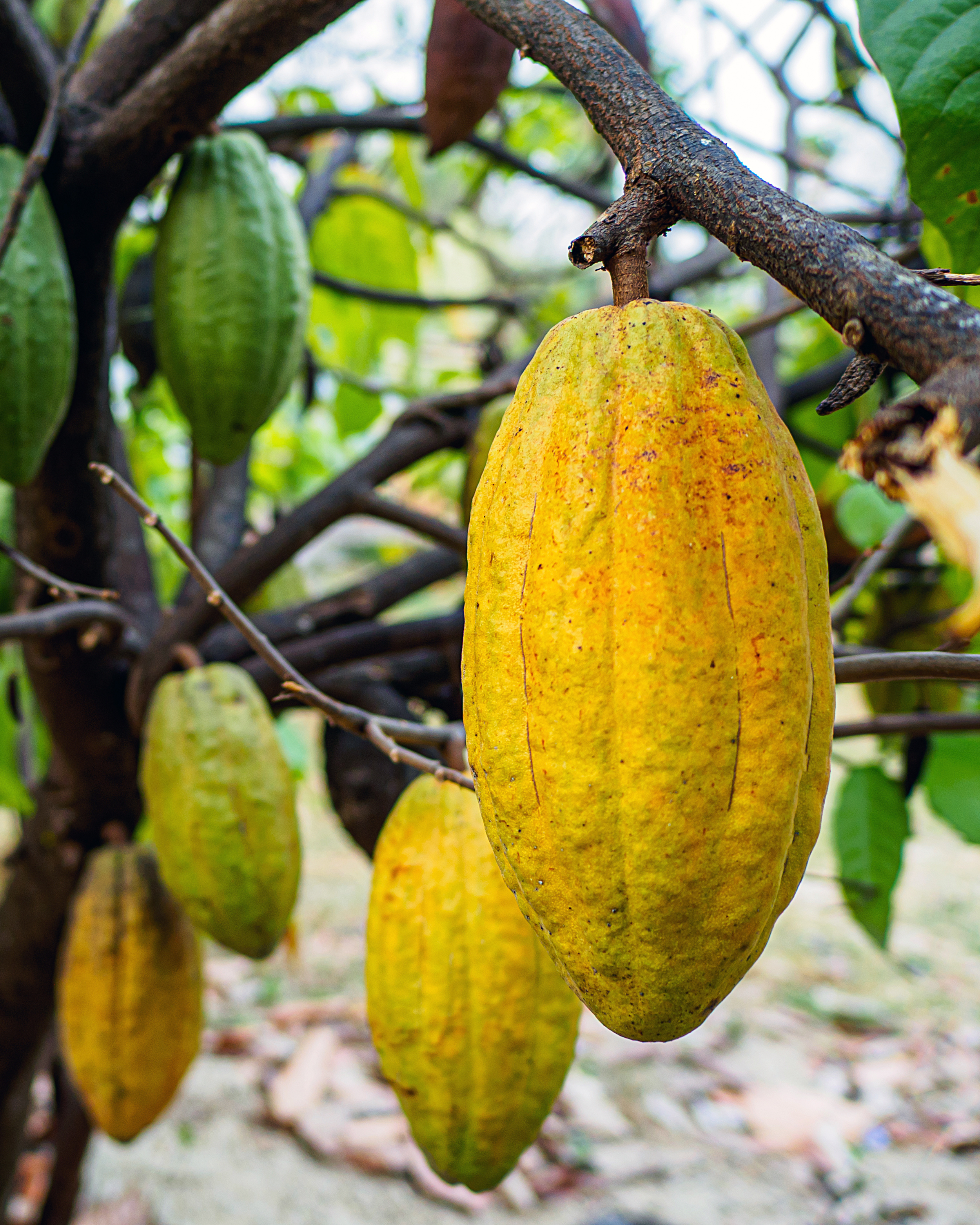
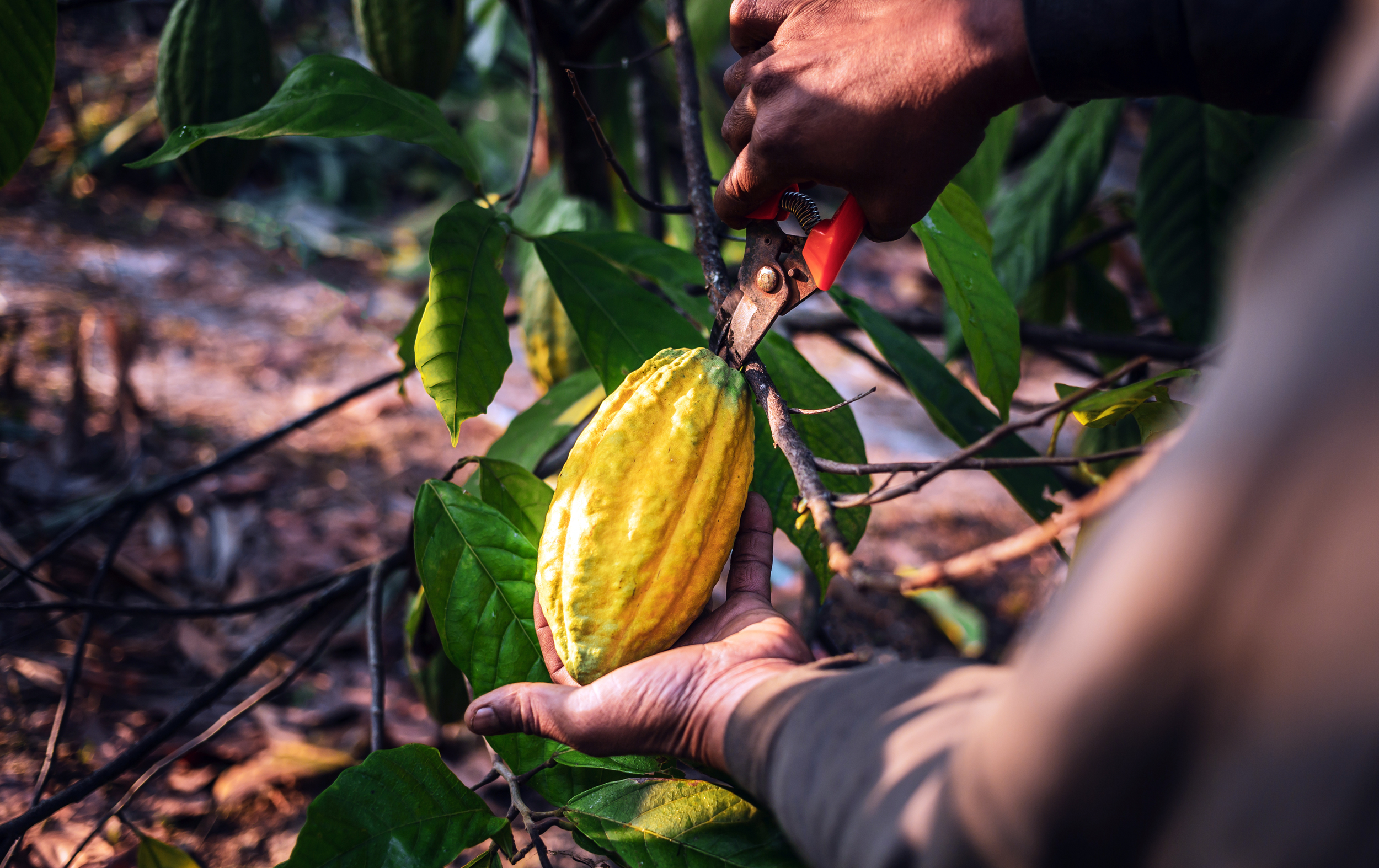
Cocoa Supply Chain Climate Resilience
Regions: Venezuela, Guatemala, and Ecuador (pilot validation); Netherlands (trade channel demonstration)
The Challenge
Cocoa production underpins the livelihoods of an estimated five to six million smallholder farmers worldwide, with the Netherlands alone handling nearly half of Europe's cocoa imports by volume. Climate change poses escalating risks to this supply chain: Increasingly erratic floods, droughts, soil temperature shifts, and humidity-driven fungal disease threaten crop health and yield at the farm level, while the European Union Deforestation Regulation (EUDR) imposes new due diligence and traceability requirements that many smallholder-dependent supply chains are not yet equipped to meet.
Existing tools address these challenges in fragments. Farmers lack integrated, accessible platforms combining climate risk monitoring, agronomic guidance, and regulatory compliance support. Traders and cooperatives bear the cost of fragmented audits and manual compliance processes. The result is compounding vulnerability at every level of the supply chain.
The Project
With a generous grant from South Holland Province, GreenAnt is collaborating with Gaia Cacao, a specialist in sustainable cacao production and trade, to develop Desidera 360: an extension of the Desidera platform built specifically for the cocoa value chain. The project combines GreenAnt's AI and satellite-based climate monitoring capabilities with Gaia Cacao's sector networks, field presence, and trade platform expertise.
Desidera 360 integrates several new analysis capability layers into our existing Desidera platform to create an all-in-one resiliency tool for agribusinesses and trade operators. In addition to AI-based cocoa yield detection and forecasting, deforestation monitoring, and flood risk monitoring and early warning, Desidera 360 will offer the following features upon completion:
Analyzing and identifying temperature variations in arable soil that may influence plant flowering cycles and shifts in harvest periods
Identifying the localized rainfall deficit and number of “heat days” in a given area that will lead to drought, allowing users to anticipate and plan for droughts before they occur
Analyzing and identifying humidity levels within the soil that can impact crop growth and increase risks of fungal diseases
Monitoring soil degradation factors
Enabling EUDR compliance verification via comprehensive supply chain mapping on Desidera’s interactive map and easily accessible EUDR Due Diligence Statements
During the launch phase, validation pilots will being conducted with cocoa producers and exporters across Latin America, followed by demonstration in European trade channels where EUDR compliance pressure is most acute.
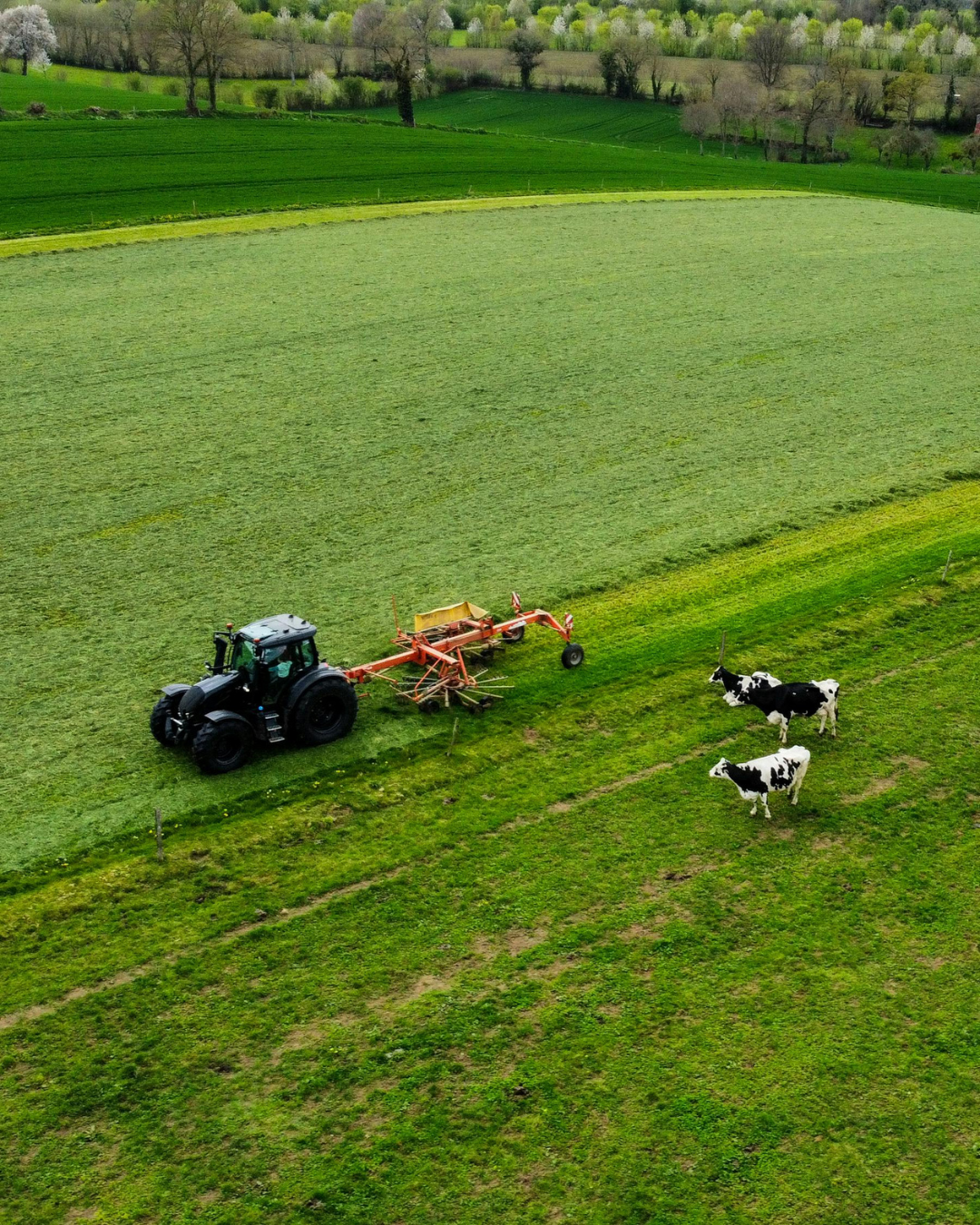
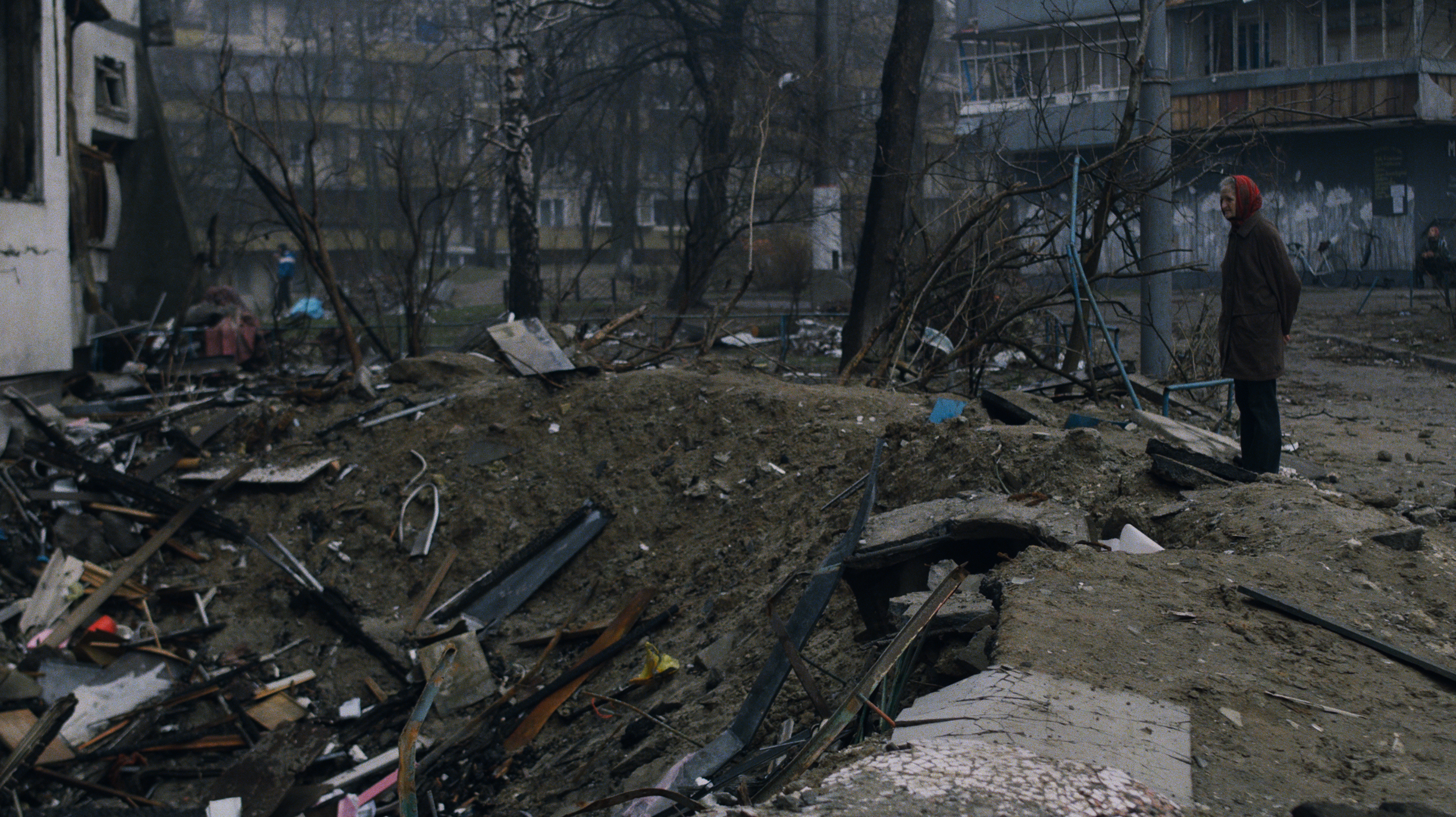
Land Degradation Caused By War
Region: Ukraine
The Challenge
Large-scale land and agricultural operators face growing pressure to understand and disclose how their land holdings interact with a changing climate and shifting ecosystems. Emerging frameworks such as the
The Project
Commissioned as part of a broader environmental due diligence engagement led by a global professional services firm, GreenAnt used Desidera to conduct a multi-site nature-related risk assessment across a large set of agricultural land parcels for a major agribusiness in Ukraine. GreenAnt was tasked with evaluating the health of land that was in close proximity to the frontline of the war. The assessment followed the Locate and Evaluate stages of the TNFD LEAP protocol, applying a consistent analytical framework across every site to enable direct, portfolio-wide comparison.
Drawing on multi-year satellite data and proprietary analytics, Desidera generated a standardized set of indicators for each site, including:
Vegetation health and productivity trends via NDVI
Forest cover change, including canopy-penetrating radar analysis to detect degradation not visible in optical imagery alone
Land use change over time, mapped through classification and confusion-matrix analysis
Flooding frequency and soil wetness, derived from radar-based surface moisture detection
Land surface temperature trends, to flag heatwave exposure and microclimate shifts
Precipitation patterns linked to disaster risks
For participating farmers, Desidera 360 is designed to reduce crop losses through earlier detection of climate and disease risk, directly protecting income and livelihoods for growers whose margins leave little room for unmitigated loss.
For traders and cooperatives, the platform is projected to reduce EUDR compliance costs by converting what is currently a labor-intensive manual audit process into an automated documentation workflow.
Following the launch of the cocoa-focused iteration, GreenAnt plans to expand Desidera 360 to apply to other critical crops. The analytical framework developed for Desidera 360, combining crop health monitoring, climate risk early warning, and deforestation tracking, is directly applicable to other climate-sensitive agricultural commodities facing similar climate exposure and regulatory pressure, including for example, coffee and palm oil.
Each site was analyzed at multiple radii around its center point, allowing the client to compare conditions within core operational zones against the surrounding landscape, and to see where land abandonment, natural succession, or hydrological change was emerging outside actively managed areas.
The resulting assessment gave the client and its advisors a consistent, defensible evidentiary basis for evaluating environmental risk across an entire land portfolio, something that would have been prohibitively time-consuming and inconsistent to produce through manual, site-by-site fieldwork. By standardizing indicators across all sites, Desidera made it possible to directly compare risk exposure between locations and identify emerging hotspots of land use change or risk. Desidera's outputs were then used as part of a due diligence process to evaluate the agribusiness's eligibility to receive a substantial loan from a large regional bank.
If your organization is exploring anticipatory action, flood early warning, or supply chain climate risk solutions, we can show you how Desidera's analytics translate to your specific context.
Taskforce on Nature-related Financial Disclosures (TNFD) are pushing companies and their advisors to move beyond high-level sustainability statements toward site-specific, data-driven assessments of environmental dependency and impact. For operators managing dozens of dispersed land parcels, often across diverse terrain and land uses, this kind of granular analysis has traditionally required extensive fieldwork, was difficult to standardize, and was often too costly or slow to support real decision-making.
At the same time, the underlying environmental risks are intensifying. Increasingly volatile precipitation, heat extremes, and flooding are reshaping land use patterns, while forest cover, wetlands, and vegetation health face mounting pressure from both climate shifts and land management practices. In some regions of the world, like in Ukraine, these risks are compounded by the effects war. Without consistent, comparable data across an entire portfolio of sites, operators and their stakeholders are left unable to distinguish which locations are resilient and which are quietly accumulating risk.