Desidera for Insurers

In climate-vulnerable regions across the world, increasingly volatile flooding events and natural disasters are exposing millions of people and businesses to recurring losses, yet most remain severely underinsured. Traditional indemnity-based insurance is reactive, slow, and cost-intensive, leaving those most at risk without adequate protection.
Granular, data-backed forecasting means smarter underwriting, faster claims verification, and new insurance products
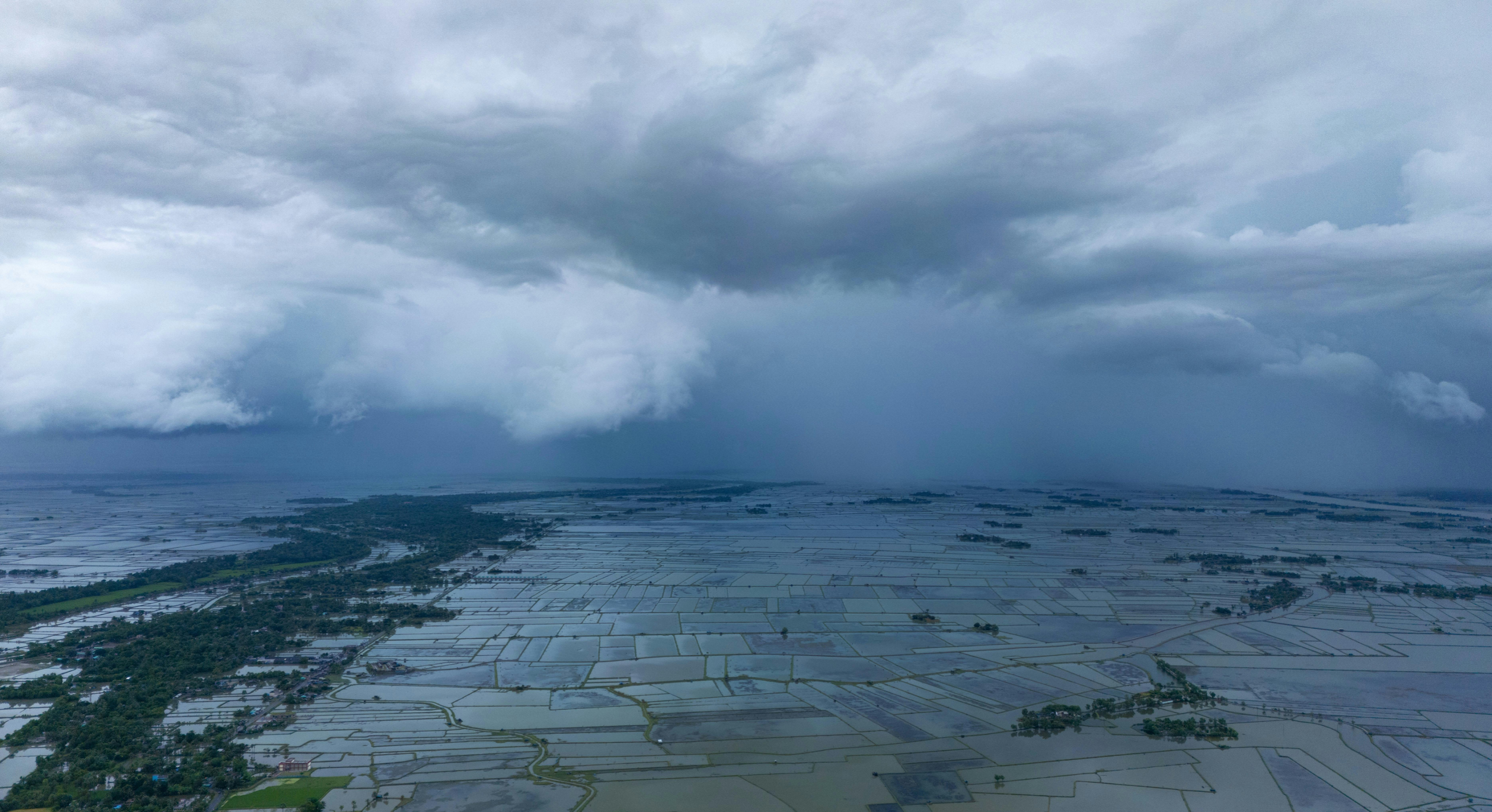
Meanwhile, the demand for natural disaster coverage is surging as climate-related catastrophes grow in frequency and severity, driving up both economic and insured losses worldwide. However, this rising demand meets a stark reality: High-risk regions are becoming progressively uninsurable, premiums are soaring, and insurers are retreating from exposed markets. The result is a rapidly widening protection gap that donors, governments, and contingency funds can no longer bridge alone.
“Traditional , indemnity-based insurance is reactive, slow, and cost-intensive, leaving those most at risk without adequate protection.”

Precision climate risk analysis for insurers
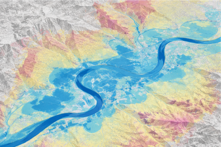
Sample historical/annual probability-based flood risk map—taken from the US FEMA website
Many traditional catastrophe insurance offerings today are based on regional flood risk analyses. But a regional average cannot tell you much about the specific risk profile of a single farm or village therein. Many natural catastrophe risk analysis services are also calibrated based on historical patterns. But with climate change, and the volatility it brings, historical patterns are becoming less and less reflective of future events. For insurers, reliance on these imprecise risk assessments leads to high basis risk, which is costly for all stakeholders involved.
Site-specific insights, not regional guesswork
GreenAnt gives insurers an alternative
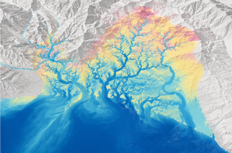
Our tool Desidera conducts site-specific analysis by ingesting satellite data and modeling how weather events interact with the actual geophysical characteristics of a plot of land. That means you obtain precise, accurate insights that aren't skewed by a changing climate. Rather, they reflect the reality on the ground today. Desidera is a powerful tool for underwriters and claims verification teams alike. Real-time insights are made available on Desidera's dashboard, so site visits and monitoring equipment are no longer needed. Whether you offer flood coverage, harvest insurance, or broader environmental damage policies, Desidera's analysis and forecasting capabilities let you price risk with precision instead of estimation. No generic regional flood maps, no complex internal modeling. Access it all through our AI-powered platform.
What can Desidera do?
Crop health and NDVI monitoring
Land use and land cover change monitoring
Drought risk, prediction, and early warning
Deforestation and biomass loss
Flood frequency and flood risk insights
Flood extent and severity monitoring
Flood prediction and early warning
Crop yield forecasts
Cover confidently with Desidera
Desidera lets you assess the specific risk of your client's land to price coverage accurately from the start. Cross-reference claims against near real-time and historical flood monitoring and damage assessments, so payouts reflect what actually happened on the ground.
Reduced losses
More competitive coverage
Targeted, plot-level risk profiling
Over 20 years of development and testing
New product offerings and improved margins
Predictive disaster thresholds
GreenAnt gives insurers a predictive edge on flood and drought risk of land just about anywhere in the world at site-specific resolution. Desidera uses machine learning and satellite data to identify the weather and rainfall conditions (corrected for other hyper-local geophysical characteristics like soil moisture, coastal surge, and river discharge) that are expected to trigger floods and droughts in a given area. Desidera can then be tasked with ingesting localized weather forecasts to monitor the target area's flood susceptibility, identify when disaster thresholds are forecasted, and predict events before they happen. High-accuracy risk thresholds allow for improved, optimized underwriting. Thresholds can also be used for parametric indices.
Desidera's automated weather tracker and threshold monitoring can be taken a step further, enabling a novel form of anticipatory parametric insurance or forecast-based derivative (both of which involve index-based preemptive payouts). We're calling the framework for this novel protection mechanism the Anticipatory Natural Trigger, or ANT. When Desidera recognizes a disaster threshold in a forecast, it sends an automated early warning signal. These signals can be used to trigger payouts. That means that funds arrive to policyholders before disasters strike. In this model, the payout does not serve as compensation for disaster-driven loss. Instead, payouts fund pre-disaster mitigation efforts (i.e. relocating at-risk assets, harvesting crops early, conducting safe evacuations, etc.) that will ultimately reduce disaster-driven loss and damage. As such, this form of anticipatory protection could be administered either independently or as a natural complement to existing, traditional reactive loss-based insurance.
The ANT: Anticipatory Parametric Insurance

Get tailored risk insights down to the site level. Develop more competitive, better-priced flood, drought, and harvest policies built on the actual risk profile of the land itself.
Drought risk forecasts, built on the same engine
Desidera's predictive framework identifies the rainfall deficits, heat patterns, and other geophysical and hydrological characteristics of land that trigger drought conditions on a specific plot. Insurers offering combined weather-risk or multi-peril policies get flood and drought forecasting from a single, consistent data source.
Future harvest yield and crop capacity forecasts
Forecast the production potential of your clients' land to strengthen harvest insurance offerings. Base coverage on forward-looking production forecasts rather than production costs alone, and use crop capacity estimates to verify damage claims after a flood event. For catastrophe-based insurers, Desidera lets you visualize and evaluate the extent of a past flood or weather event, assess the damage it caused, and estimate its effect on production, all from the same platform.
Model flood damage with precision
Desidera uses radar satellite data and AI to build projections that go beyond traditional stochastic flood models. Desidera accounts for the changing geophysical characteristics of each site rather than relying on static, generalized assumptions. Access continuous satellite data-derived insights from partner satellites trained on your region of interest, even during the storm events that generate the highest-risk claims.
Read more →
Track past flooding events, assess how they affected production and land condition, and cross-reference the timing and severity of a claimed event against Desidera's own record. Verify claims with data instead of a site visit.