
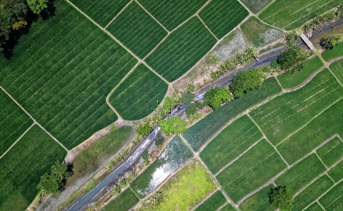
The Precision Problem: Why Site-Specific Flood Thresholds Outperform Regional Risk Models
Most early flood warning systems are built on a flawed assumption: That rainfall patterns observed across a broad region reliably predict flooding at any specific location within it. They do not.
Global flood models (including GloFAS) deliver probabilistic forecasts at resolutions that serve macro-level risk assessment well but cannot account for…
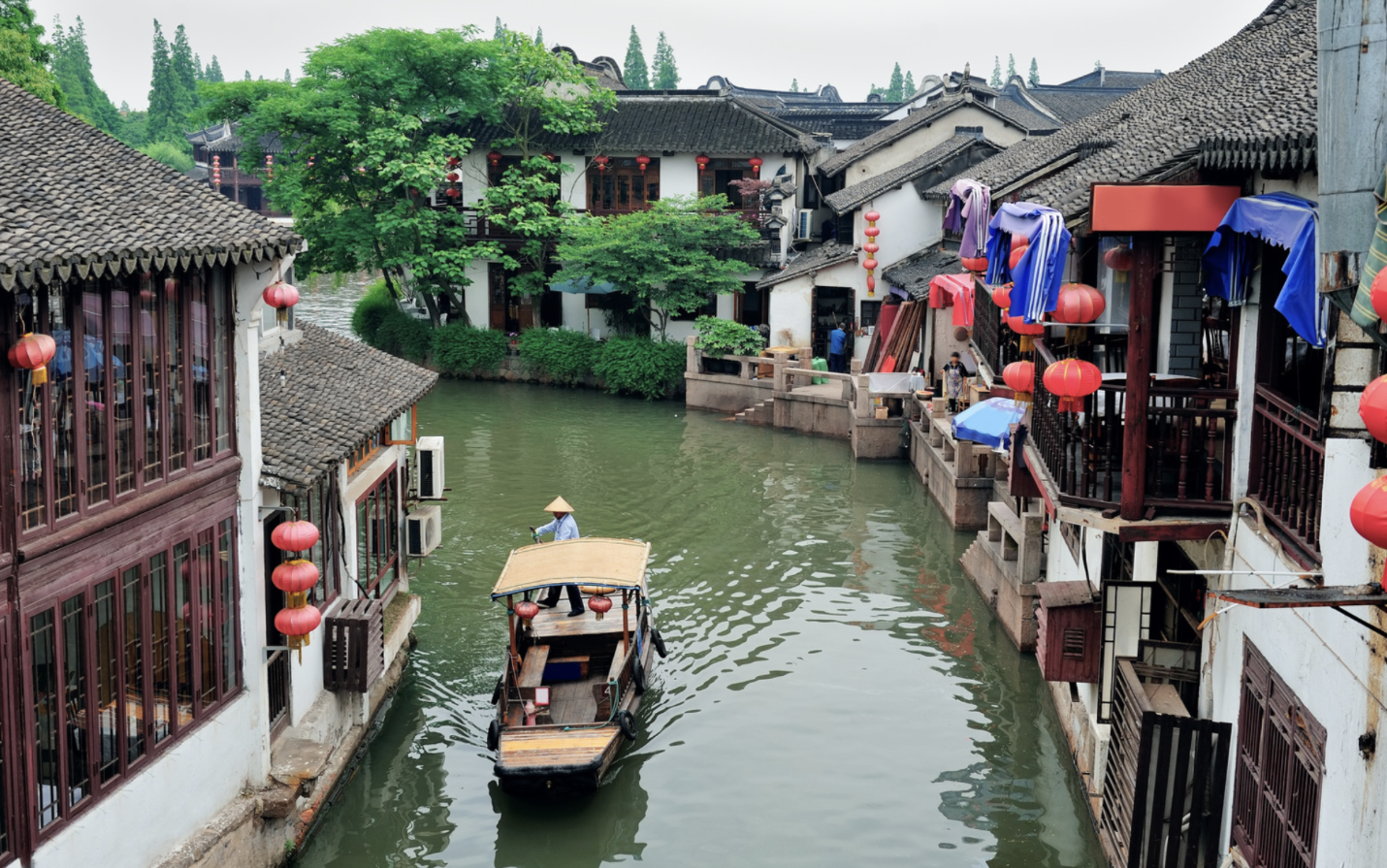
From Satellite Data to Village-Level Warnings: Scaling Hydrological Models for Anticipatory Action
Floods are the world's most widespread natural hazard, yet the communities most exposed are often the least protected by functional early warning systems. Approximately 1.81 billion people, nearly a quarter of the global population, are directly exposed to 100-year floods, a figure that underscores not just the scale of the physical risk but the scale of the institutional failure…

Digital Shields: Using Radar Satellite Constellations and AI to Protect Climate-Vulnerable Communities
Climate-related disasters have dramatically increased in recent decades, with climate vulnerable populations facing the greatest risks. The BBC has reported that the number of weather-related disasters worldwide has increased 500% over the past 50 years. Unfortunately, traditional environmental monitoring solutions that have limitations in spatial coverage, real-time data availability, and precursor signal detection, make disaster preparedness all the more challenging…
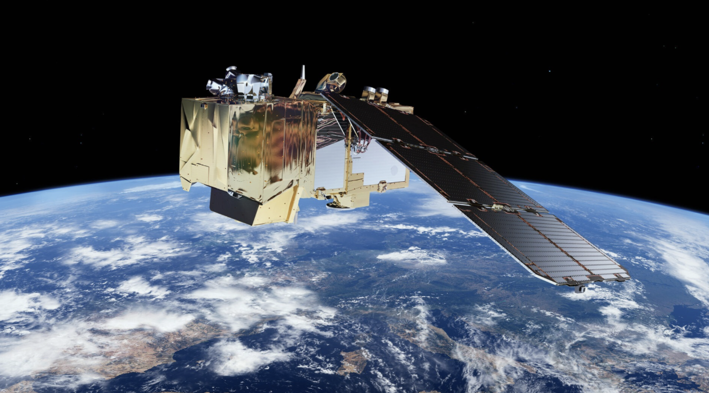
How GreenAnt's Desidera Platform Leverages Sentinel Satellite Technology (Part 2 of 2)
We’ll enumerate some of the transformative applications of Desidera, from crop monitoring and yield estimation to deforestation tracking and disaster response. Discover how GreenAnt is revolutionizing agriculture and environmental management with cutting-edge satellite technology…
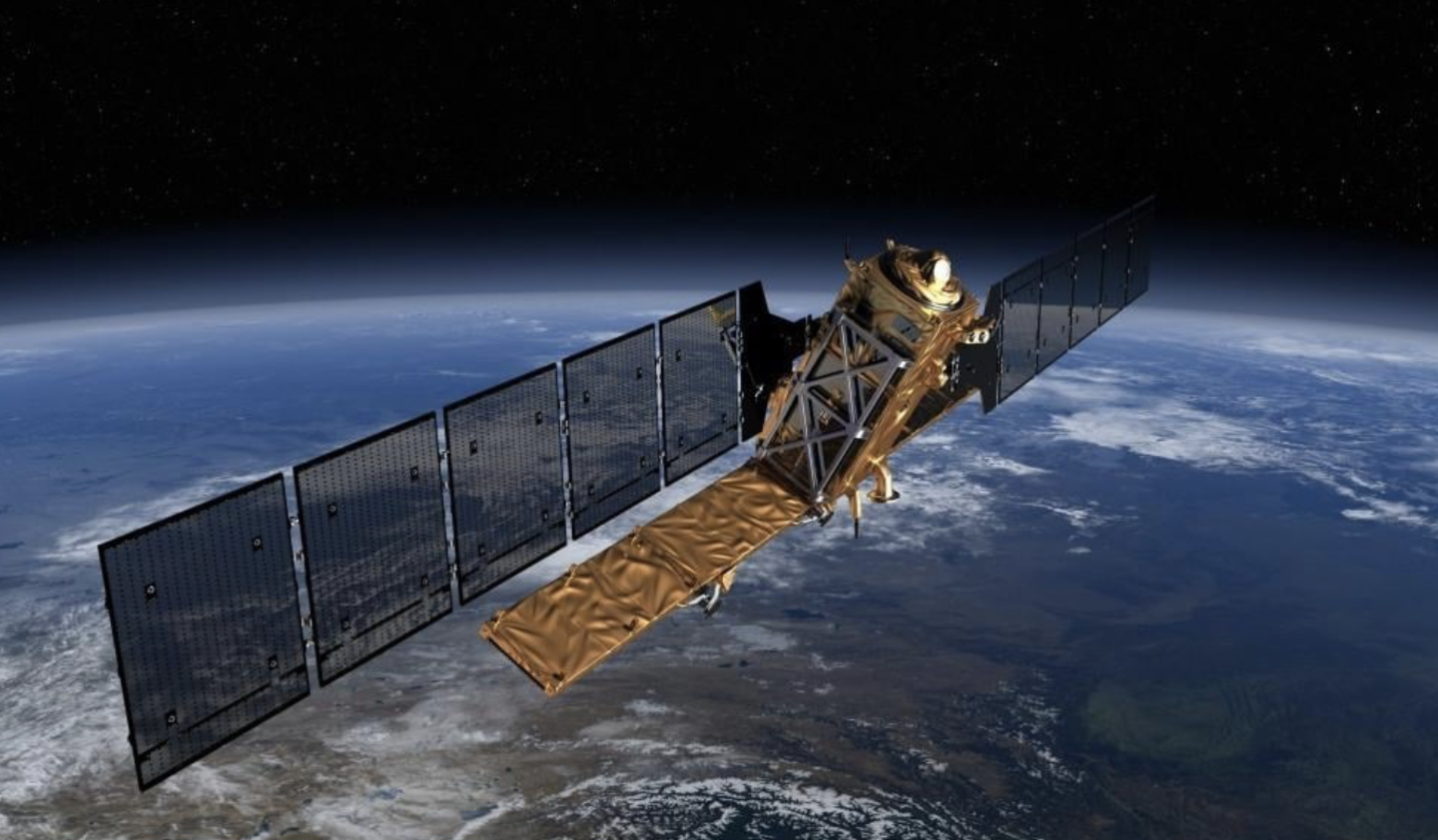
How GreenAnt's Desidera Platform Leverages Sentinel Satellite Technology (Part 1 of 2)
This is the first of a two-part blog series exploring how GreenAnt’s Desidera platform uses Sentinel satellite technology to revolutionize agriculture and environmental monitoring. In this part, we’ll dive into the technology behind Desidera, the capabilities of the Sentinel satellites, and how GreenAnt processes satellite data…