
How GreenAnt's Desidera Platform Leverages Sentinel Satellite Technology (Part 1 of 2)
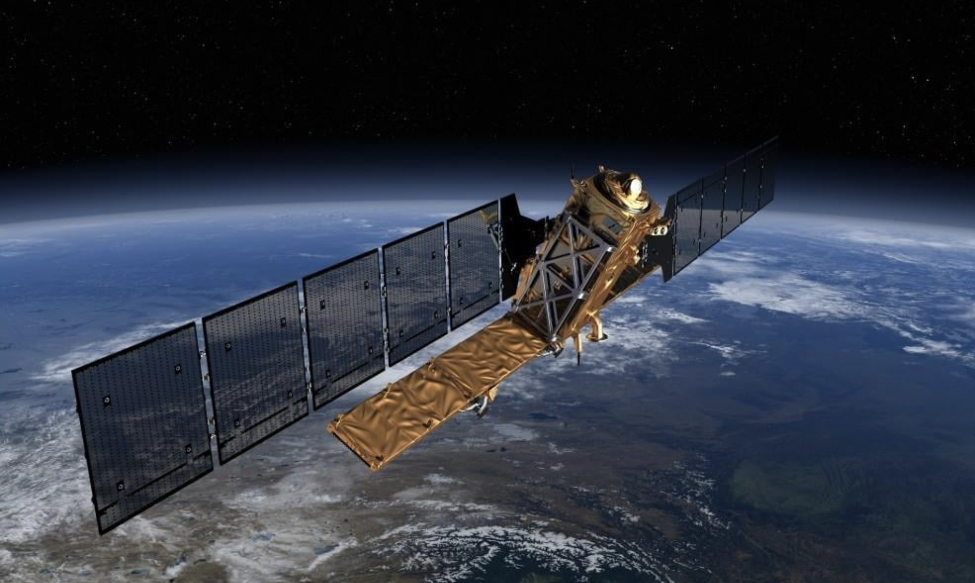
Image: ESA/ATG
Introduction
This is the first of a two-part blog series exploring how GreenAnt’s Desidera platform uses Sentinel satellite technology to revolutionize agriculture and environmental monitoring. In this part, we’ll dive into the technology behind Desidera, the capabilities of the Sentinel satellites, and how GreenAnt processes satellite data to deliver actionable insights.
GreenAnt is a pioneering technology company dedicated to transforming environmental risk management through AI and satellite technology. Our mission is to empower growers, traders, and their financial and insurance service providers by delivering innovative solutions that enhance sustainability, transparency, and resilience. By leveraging cutting-edge technology, we aim to create a more equitable and sustainable future for agriculture.
A cornerstone of our strategy is satellite technology, which is transforming agricultural practices. Satellite
imaging provides high-resolution radar data, enabling farmers, researchers, and policymakers to gain valuable insights into crop health, soil moisture levels, and land use patterns. GreenAnt’s Desidera platform uses data from the European Space Agency’s Sentinel satellites to generate accurate, timely insights—even in challenging weather conditions—unlike traditional visual imaging systems limited by cloud cover. This data-driven approach supports informed decision-making, leading to increased yields, reduced resource consumption, and improved agricultural sustainability.
Desidera’s Eyes in the Sky
The Sentinel satellite constellation, part of the European Union’s Copernicus program, is a game-changer
for Earth observation. Equipped with advanced Synthetic Aperture Radar (SAR) and optical imaging technologies, Sentinel satellites provide consistent, high-resolution data day and night, regardless of weather conditions. This capability is critical for monitoring agricultural fields, forests, and other land areas.
Sentinel-1: A radar satellite that captures high-resolution images day and night, even through clouds. It’s ideal for monitoring land use changes, deforestation, and agricultural activities.
Sentinel-2: An optical satellite that captures high-resolution imagery in multiple spectral bands, enabling detailed analysis of vegetation health, soil moisture, and water bodies.
By combining data from both satellites, Desidera offers comprehensive insights into agricultural practices, empowering stakeholders with actionable information.
Key Sentinel Capabilities
Sentinel satellites bring unparalleled capabilities to agricultural and environmental monitoring:
Synthetic Aperture Radar (SAR) Technology: Penetrates cloud cover and darkness, providing insights into land use, crop health, and soil moisture.
All-Weather, Day-and-Night Imaging: Ensures consistent monitoring, regardless of weather or time of day.
High-Resolution Imagery: Delivers detailed data for analyzing crop growth, soil health, and other critical factors.
Wide Swath Coverage: Monitors vast agricultural regions efficiently.
Multispectral Imaging: Captures data in multiple spectral bands for detailed vegetation and soil analysis.
Optical Imagery: Provides high-resolution visible and near-infrared data for accurate land cover classification.
Desidera’s Data-Processing Pipeline
Desidera transforms raw Sentinel data into actionable insights through a rigorous processing pipeline:
Pre-processing: Cleaning and calibrating raw data for accuracy.
Atmospheric Correction: Removing atmospheric effects to obtain ground-level measurements.
Geometric Correction: Aligning data with geographic coordinates.
Radiometric Calibration: Ensuring accurate reflectance measurements.
Feature Extraction: Identifying key metrics like vegetation indices, soil moisture, and land cover.
Analysis and Interpretation: Using advanced algorithms to derive insights into crop health, soil conditions, and more.
This pipeline provides Desidera users with timely, actionable insights, helping them optimize agricultural practices and manage land more effectively.
Conclusion
In this first part of our series, we’ve explored how GreenAnt’s Desidera platform leverages Sentinel satellite technology to revolutionize agriculture and environmental monitoring. From the advanced capabilities of Sentinel-1 and Sentinel-2 to Desidera’s sophisticated data processing pipeline, this technology is empowering stakeholders with actionable insights.
Stay tuned for Part 2, where we’ll dive into the transformative applications of Desidera, from crop monitoring and yield estimation to deforestation tracking and disaster response. Discover how GreenAnt is helping farmers, traders, and financial service providers build a more sustainable future.